
Storm Sweeps Through the County
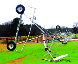
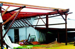

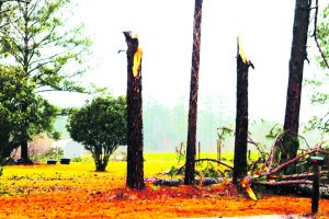
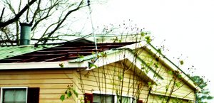
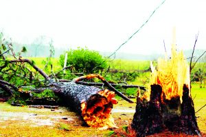
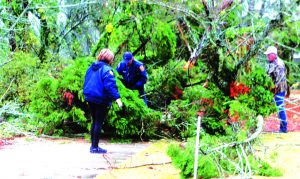

Due to a severe weather warning for Southeast Georgia yesterday (Tuesday), the regularly scheduled meeting of the Jeff Davis County Commissioners was postponed until Thursday, Jan. 11, at 6 p.m.
Jeff Davis Schools were closed Tuesday due to the impending weather and resumed today (Wednesday) as scheduled.
The Monday afternoon report from the Georgia Emergency Management Agency said a significant severe weather event was expected to unfold across Georgia Tuesday. While the severe weather threat was primarily for South and Central Georgia, heavy rainfall and high non-thunderstorm winds were expected to cause localized flooding and downed trees/powerlines in North Georgia.
The Storm Prediction Center placed all of South Georgia and part of East-Central Georgia in an Enhanced Risk (level 3 of 5) for severe weather Tuesday with the potential for strong damaging wind gusts and a few tornadoes. In particular, all of Southwest Georgia and part of East-Central Georgia were included in a “Hatched Area” for tornadoes, indicating the potential for a strong (EF-2+) tornado. The entire Enhanced Risk area was also under a “Hatched Area” for severe wind, indicating the potential for significant thunderstorm wind gusts of 74 mph or greater. An upgrade to a Moderate Risk (level 4 of 5) was possible, particularly in Southwest Georgia.
A powerful low-pressure system was expected to push a warm front through South and Central Georgia Monday night, setting the stage for a significant severe weather event between mid-morning and late Tuesday afternoon. A squall line began to move into western Georgia by sunrise Tuesday and continue to push eastward through the late morning and early afternoon. The main window for significant severe weather was expected to be between mid-morning and mid-afternoon across South and Central Georgia.
The line of storms was predicted to move out of eastern Georgia by sunset Tuesday.